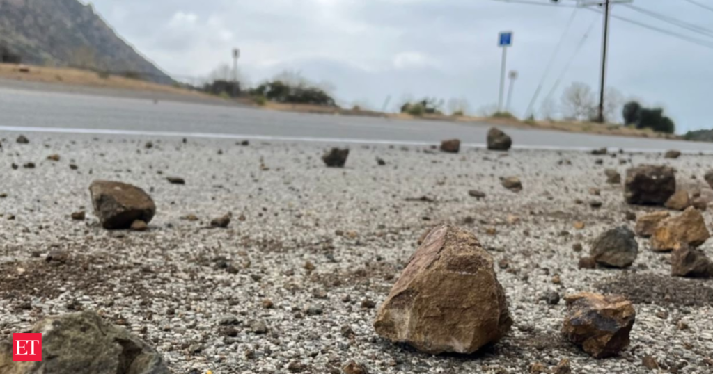
A magnitude 2.4 earthquake was recorded in Long Beach, California, on Sunday, June 1, at approximately 11:34 p.m. Pacific time, according to data from the US Geological Survey (USGS). The minor earthquake was located less than a mile from Los Angeles, with nearby areas including Carson, Signal Hill, and Rancho Palos Verdes.
The earthquake occurred at a depth of 7.6 miles beneath the surface, consistent with seismic activity commonly observed in Southern California. The USGS reported that the seismic event did not result in any immediate reports of damage or injuries.Also read: Tsunami trouble ahead? Scientists warn Cascadia quake could devastate and wipe part of America off the map
Long Beach, situated in the seismically active Los Angeles Basin, frequently experiences low-magnitude earthquakes. While Sunday’s earthquake registered below magnitude 3.0, it remains part of the broader geological activity regularly observed in the region. In the past 10 days, there have been no other recorded earthquakes of magnitude 3.0 or greater in the surrounding area.

On average, approximately 59 earthquakes ranging between magnitudes 2.0 and 3.0 occur annually within the greater Los Angeles area, based on recent three-year data from the USGS. These minor earthquakes are often not felt by residents but are routinely monitored by geological authorities to assess broader tectonic activity.
Local officials and emergency management agencies continue to advise Southern California residents to remain prepared for seismic activity, regardless of magnitude, given the region’s proximity to major fault lines such as the San Andreas Fault and Newport-Inglewood Fault.
Residents can access real-time earthquake data and preparedness resources through the USGS and local emergency services.
The recorded seismic activity underscores the ongoing geological movement in the Long Beach and Los Angeles area, reinforcing the importance of earthquake preparedness and monitoring in urban Southern California.