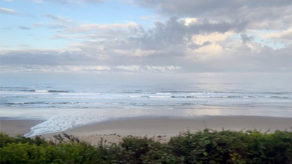
By luck of geology, the Pacific Northwest coast isn’t being hit nearly as hard as other areas of the world by climate change-driven sea level rise. While the U.S. East Coast is expected to see roughly 11-16 inches of sea level rise by 2050 under a high-emission scenario, our coast will see closer to 3-7 inches.
Now scientists working in Oregon are adding a new wrinkle to these presumptions, showing the risks could be far greater.
Much of the Oregon, Washington and northern California coast is slowly rising — not quickly enough to keep up with the expected sea level changes due to human-caused climate change, but enough to put us on better footing than the rest of the country in the short term.
The reason is largely due to the Cascadia Subduction Zone, a massive fault running parallel to shore about 100 miles out into the ocean. There, the Juan de Fuca plate is being pushed under the North American plate. This pressure causes our coasts to buckle, pushing our coastline up out of the water.
But as fortuitous as this has been in the face of climate change, it could turn unlucky at any moment. The big one — a magnitude 9.0+ Cascadia Subduction Zone earthquake — could happen any time now based on its history.

FILE – With the sea level steadily rising from climate change, the Oregon coastline is expected to move inland a few inches by 2050. Add in the possibility of a big quake from the Cascadia Subduction Zone shifting and flooding in Newport, shown here in this Oct. 19, 2024 file photo, and other communites along the West Coast could be worse than anticipated.
Prakruti Bhatt / OPB
An analysis out of Virginia Tech and the University of Oregon shows a dramatically different future for coastal communities when considering the effects of a Cascadia earthquake and climate-driven sea level rise together.
While a 9.0 magnitude earthquake and the tsunamis that follow would devastate parts of the region, it’s the lasting change to the land level itself the scientists considered in their work.
The same forces that cause the coast to slowly rise over the years triggers a reversal when the subduction zone quake happens. In a matter of minutes, the tension releases, and the land level drops down, or subsides, likely between 1.5 and 6 feet.
The researchers examined what would happen at 24 different estuaries in Oregon, Washington and California when you pair three different potential levels of earthquake subsidence with sea level rise due to climate change.
Short answer: a lot more people would need to get flood insurance.
If the earthquake happened today, the amount of area considered to be in a high-risk floodplain across these coastal areas would increase by more than 100 square miles. Add in the impacts of sea level rise, and that 100-year flood area increases further to 140 square miles by 2100.
Overall, the researchers found the number of people, buildings and other infrastructure exposed to flooding could more than triple from current levels.
The scientists say their analysis shows the importance of considering sea level rise and earthquake subsidence when devising strategies to increase the resilience of coastal communities over the next century.
This story was written and reported by Jes Burns, edited by Cassandra Profita and digitally produced by John Hill.
The research is published in the Proceedings of the National Academies of Science.
In these All Science Snapshots, “All Science. No Fiction.” creator Jes Burns features the most interesting, wondrous and hopeful science coming out of the Pacific Northwest.
Find full episodes of “All Science. No Fiction.” here.
And remember: Science builds on the science that came before. No one study tells the whole story.


